Projects & Programs
Preserving Nature for All
Santa Clara County’s rich natural heritage paired with a vibrant economy make it the fastest growing county in the Bay Area. However, a growing population and steady development pressures, along with a changing climate, pose new threats to the health and sustainability of the region. These challenges require the Santa Clara Valley Open Space Authority to be resourceful, innovative and effective in the protection of open space.
Our Impact
The Open Space Authority efficiently and effectively invests in high-priority, high-impact Projects & Programs to improve quality of life for all residents in the Santa Clara Valley.
Our Approach
The Open Space Authority is guided by the Santa Clara Valley Greenprint, a 30-year roadmap that identifies goals, priorities and strategies for land conservation – and highlights opportunities for partnerships and funding to support these efforts. This plan has been honored with the American Planning Association’s Award of Excellence in Sustainability, showing that our community’s vision for conservation is recognized across the country.
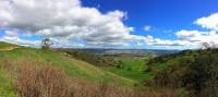
Land Protection
We take pride in working collaboratively with willing landowners to permanently protect open spaces. The Open Space Authority can purchase a property outright, accept donations of land or place a conservation or agricultural easement on a property, which allows the landowner to retain ownership and enjoyment of the land while limiting development on it forever.
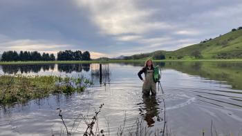
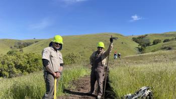
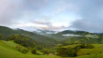
Land Stewardship
Land protection is just the beginning of the story. In addition to conserving and protecting nature, the Open Space Authority works diligently to take care of your beautiful open space lands. Open Space Authority staff are responsible for caring for many natural resources, including plants and animals, water and soil resources, and cultural and recreational assets.

Nature as Infrastructure
Here in Silicon Valley, the center of innovation, the Open Space Authority is demonstrating how strategic investments in conservation, smart land use policies and urban design can provide cost-effective, efficient nature-based resilience to climate change, while also providing many other ecological, economic and quality of life benefits – now and in the future.
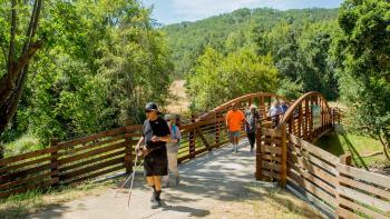
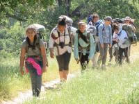
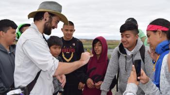
Equitable Access to Nature
Through public access projects, the Open Space Authority continues to expand and improve visitor access to open space preserves.
Grant Programs
The Open Space Authority helps connect people to the outdoors in their own neighborhoods through nearby parks, trails, urban community gardens and environmental education programs. The Authority has two grant programs that provide funds for urban projects.
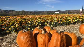
Agriculture
The Santa Clara Valley has a rich agricultural heritage, and a key aspect of the Open Space Authority’s mission is creating a healthy future for local agriculture in our region. The Open Space Authority plays a lead role in identifying and preserving the most important farmland and rangeland to improve our region's economy, community health, livability and the environment. The Open Space Authority believes local, healthy food benefits our communities, protects the environment and is essential to our quality of life.
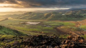
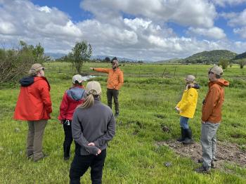
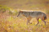
Coyote Valley
Just south of San José lies the Coyote Valley, a vital, “last chance” landscape that provides a wildlife linkage connecting 1.1 million acres of habitat in the surrounding Santa Cruz Mountains and Diablo Range. This unique place blends thriving agricultural lands, naturally resilient floodplains and unique valley-floor habitats that are home to rare and endangered plants and animals. The Open Space Authority is leading a master planning process that will shape the future use and restoration of recently protected lands on the valley floor and enhance the many natural benefits Coyote Valley provides our region.