Rancho Cañada del Oro Open Space Preserve
About this Preserve
Rancho Cañada del Oro Open Space Preserve
Alerts & Closures
Hours & Location:
Sunday - Saturday | 6:00 a.m. - 8:30 p.m.
4289 Casa Loma Rd, Morgan Hill, CA
Facilities:
- Accessible all-gender restroom
- Picnic tables
- No trash cans
- No drinking water
Parking & Transportation:
- Free parking lot.
- Free horse trailer parking available. Contact us to reserve horse trailer parking (optional).
Accessibility accommodations:
Everyone deserves equitable access to nature. Please visit our Accessibility page or email ada@openspaceauthority.org for questions, concerns or specific accessibility resource requests.
Emergency Information:
For emergencies or to report suspicious activity, please call 911.
Due to the sensitivity of this habitat, dogs and drones are not permitted anywhere on the preserve.
Trail maps are georeferenced for use in Avenza Maps
Know Before You Go
Preserve Highlights & Features
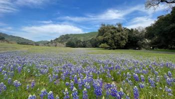
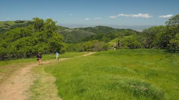
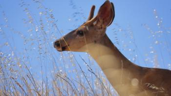
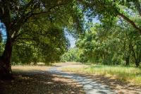
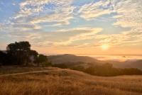
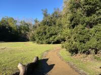
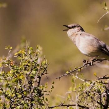
Rancho Cañada del Oro Open Space Preserve is located in the foothills of the Santa Cruz Mountains in South Santa Clara County. Two glistening creeks run through mixed oak woodlands and grasslands. Deer, bobcats, foxes and other wildlife roam throughout the preserve. In the spring months, wildflowers adorn the meadows and hillsides.
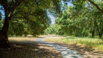
This preserve contains about 10 miles of multi-use trails, including two accessible trails, which provide full nature experiences for visitors with limited mobility. Total, there are 5.5 miles of trail designated as a portion of Bay Area Ridge Trail, a regional trail system that will someday stretch more than 550 miles along the ridge lines that encircle San Francisco Bay.
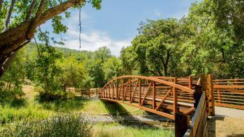
In 2024, the Open Space Authority completed construction connecting the accessible Llagas Creek Loop Trail to a newly-installed bridge over Llagas Creek. By crossing the bridge, visitors can enjoy the new Hidden Meadow Trail, nearly surrounded by riparian woodlands and Llagas Creek, with views of the hillsides beyond. Amenities include an accessible trail, seating areas and interpretation about the surrounding environment.
The Open Space Authority is currently planning new backcountry trail connections to Blair Ranch, which is an expanse of protected lands to the south-east of the preserve. This will provide up to 5 miles of new multi-use trails, opening up an additional 1,800 acres of the preserve to public access. Learn more on the Rancho Cañada del Oro Regional Trail Planning page.
Upcoming Events at this Preserve

Funding for this Preserve
The Open Space Authority acquired Rancho Cañada del Oro Open Space Preserve in 2000, with the generous support of Prop 12, Peninsula Open Space Trust, the City of San José, California Coastal Conservancy, Department of Parks and Recreation, the County of Santa Clara and the Gordon and Betty Moore Foundation.
The Llagas Creek Bridge and Hidden Meadow Trail project was made possible with $1.12 million in funding from State Parks' Per Capita Program and is an example of how the Open Space Authority is Investing in Nature.